- Our Services
- Measured Surveys
Measured Surveys
T: 0161 518 8671
E: bc@roger-hannah.co.uk
Measured surveys are defined by the RICS as surveys involving taking the measurements of sites or buildings to produce data that is then represented as a drawing or model at a reduced scale. They are usually specified to an agreed level of detail, to acceptable tolerances and scale.
The systematic measurement process involved in measured surveys includes use of survey equipment and knowledge of Building Surveys to produce accurate plans.
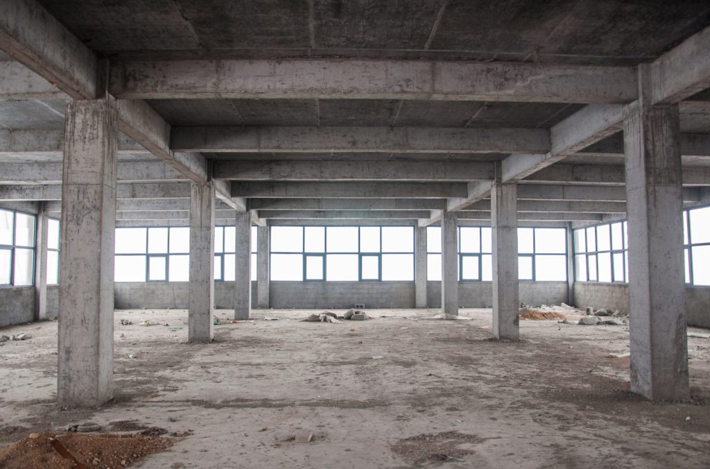
What is a Measured Survey?
A measured building survey involves the taking of exact measurements of buildings, structures and sites in order to produce accurate data and plans. They can relate both to external and internal aspects of the property.
Each project has its own precise specifications to work to, with an agreed level of detail including the scale required, acceptable tolerances and delivery times, etc.
Inaccurate measured surveys can lead to many issues including increased costs and delays.
What can be included in a Measured Survey?
A Measured Survey can show several different elements:
-
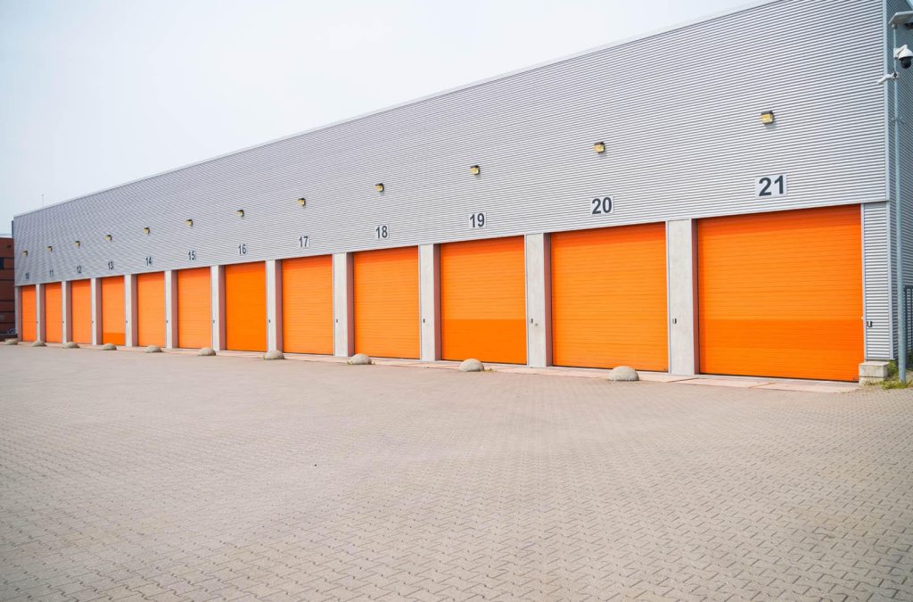
External elevations showing the outside façade of a building. The details can consist of window positions, rainwater goods, drainage, doors, etc.
-
Internal elevations to show doors, walls, beams and internal feature, etc.
-
Sectional drawings of rooms.
-
Floor plans.
What are Measured Surveys used for?
Measured Surveys can be used for a wide variety of reasons:
-
Internal refurbishment, redevelopment and alterations.
-
Sale, acquisition and lettings to produce Lease and Land Registry plans.
-
Space planning and remodelling.
-
Health & Safety, i.e. Fire Safety plans.
-
Rights to Light.
-
-
Insurance Reinstatement Cost Assessments.
Who needs a Measured Survey?
Typical end users could include:
-
Property Owners and Investors.
-
Property Developers.
-
Asset & Facilities Managers.
-
Architects & Designers.
-
Constructions companies.
Key contacts
Related Services
Academies & Colleges
Dilapidations
Insurance Surveying Services
Party Wall Services